Visual Work

Mapping of Serrara Fontana

Photography · 2025 · Studi sul Qui, Season 05
Mapping of Serrara Fontana

Project

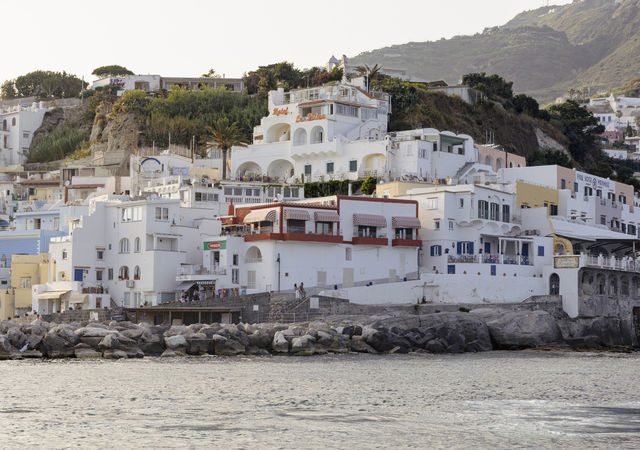
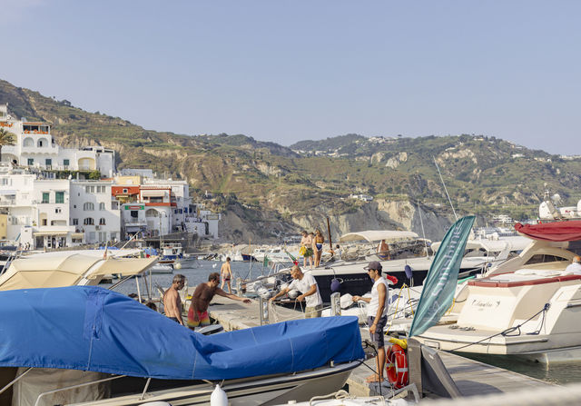
A photographic mapping developed during the fifth season of Studi sul Qui. Four sequences observe Serrara Fontana from different points of view: the harbour as a space of transit, ceramic fragments as traces of human presence, recurrent forms of dwelling, and the verticality of a territory that unfolds from the sea to Mount Epomeo.
01

Port

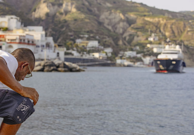
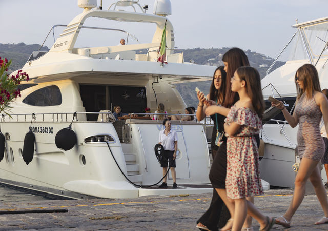
A day spent on the quay of Sant’Angelo harbour, observing maritime traffic at the busiest hours. The series records passages, stops, goods, luggage, arrivals and departures, recomposing the everyday practices that turn the port into a node of coastal exchange.

02

Tiles

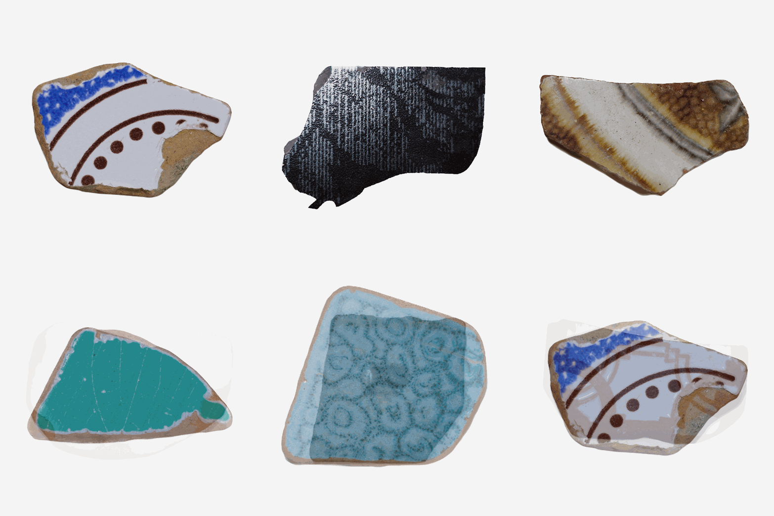
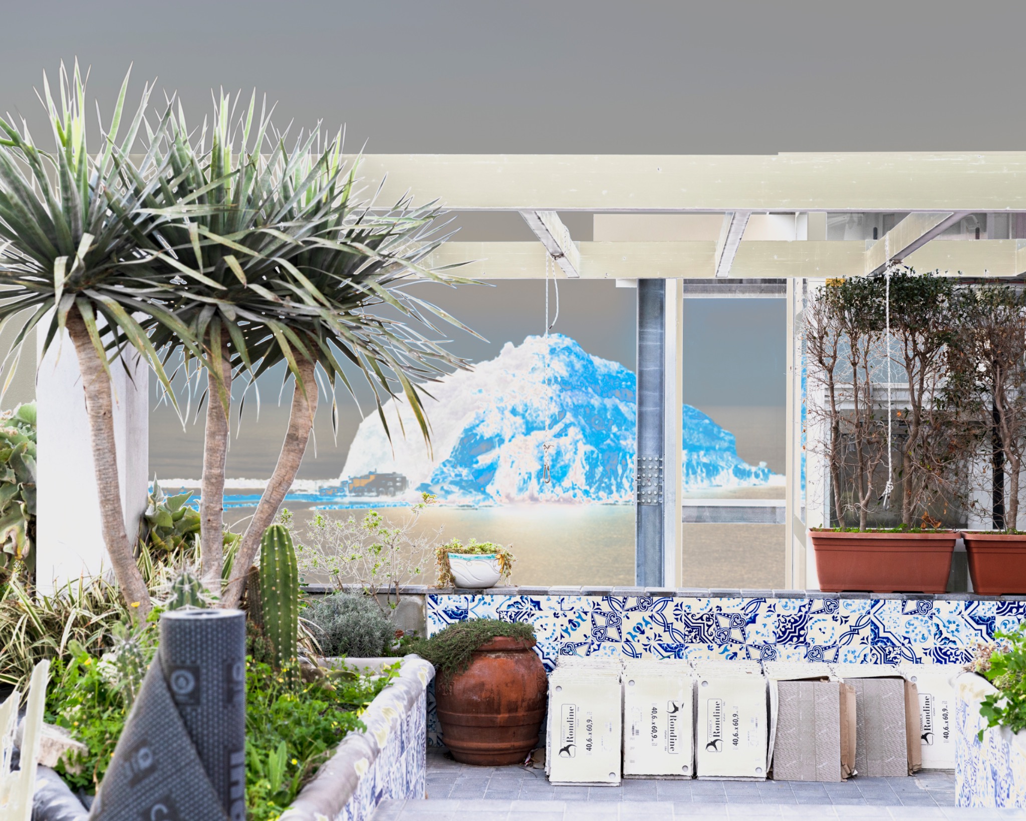
A collection of ceramic fragments found on beaches and in different places on the island becomes a mapping of Serrara Fontana’s anthropisation. Domestic and decorative remains, scattered across the landscape, become material traces of the unstable relationship between construction, nature and dwelling.

Tiles — contextual image
Tiles — landscape
Tiles — animated atlas of ceramic fragments
03

Houses

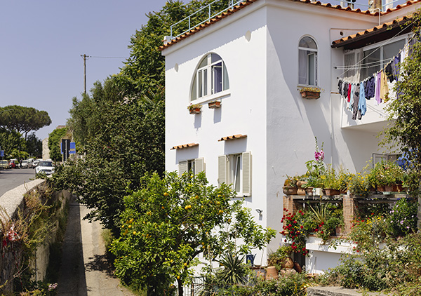
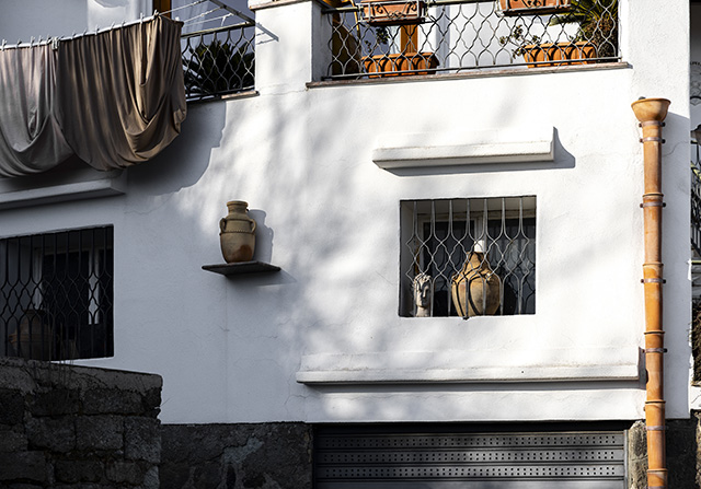
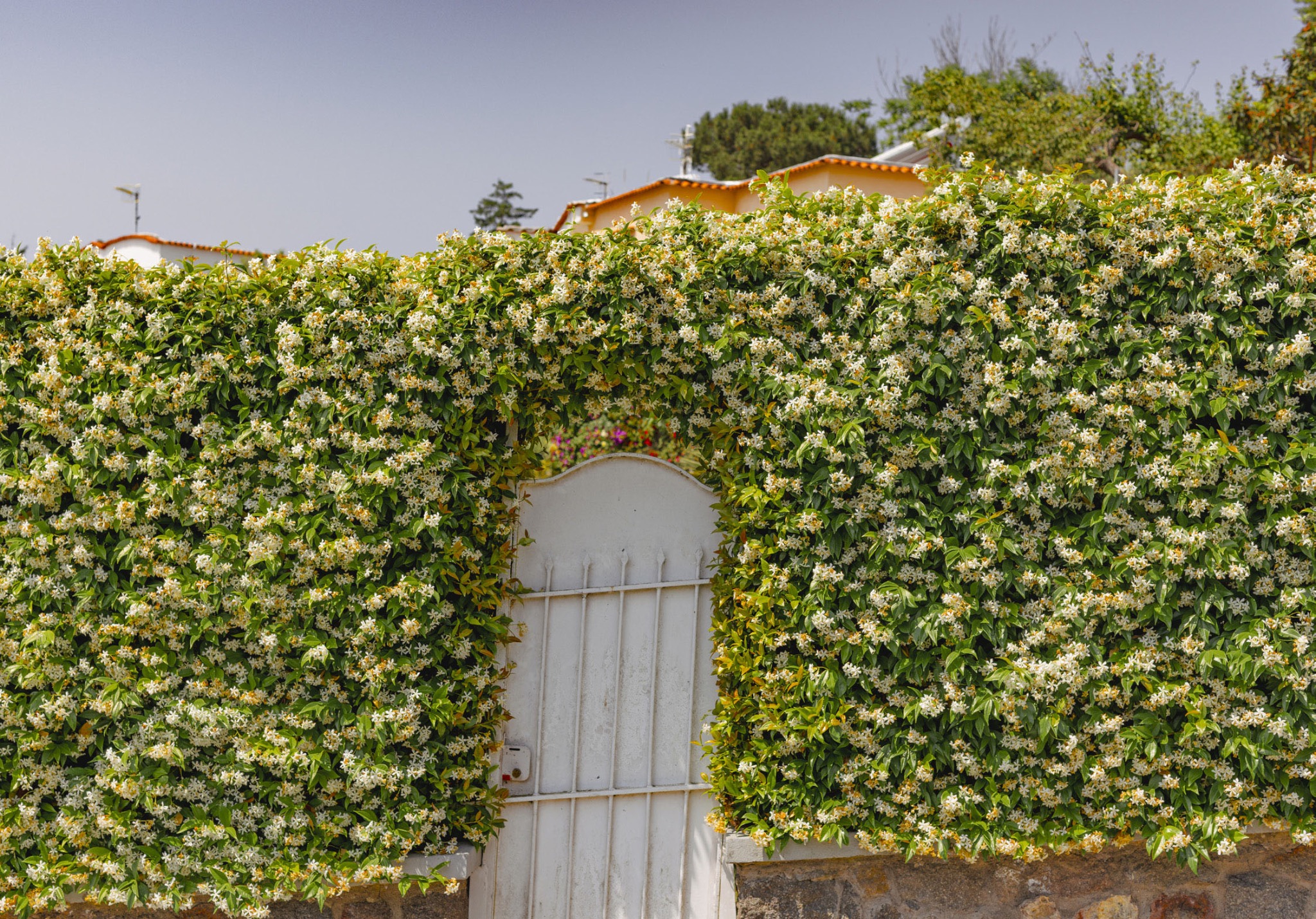
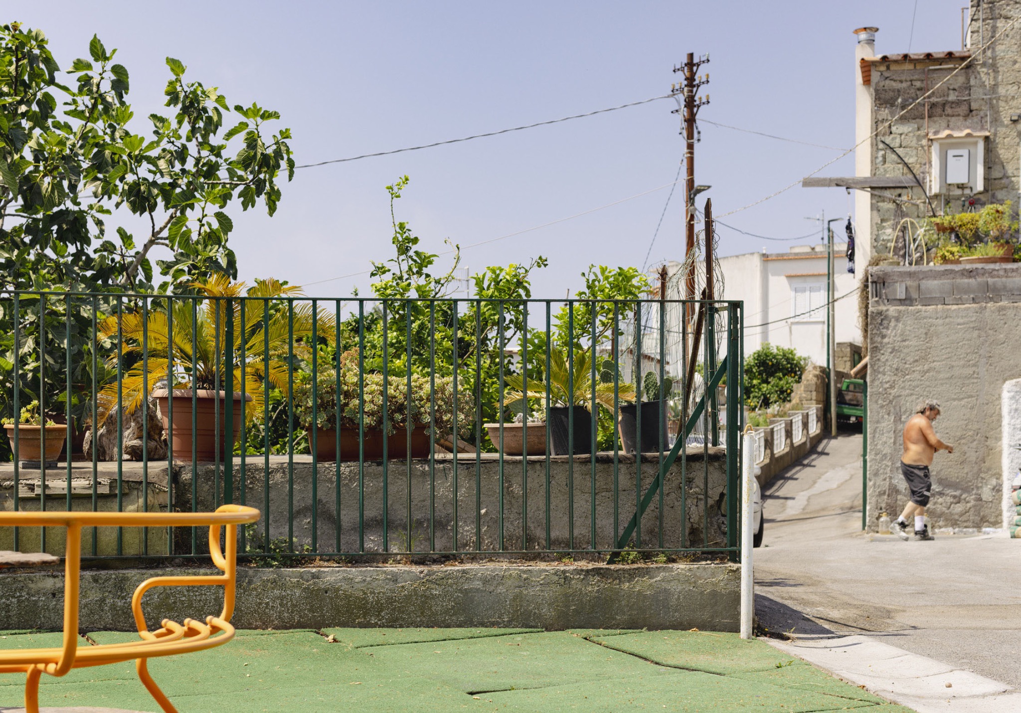
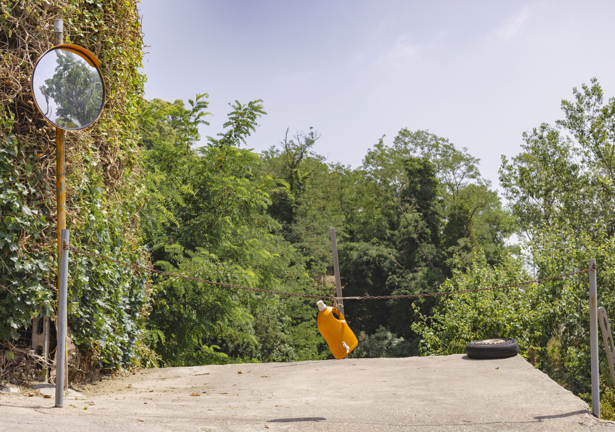
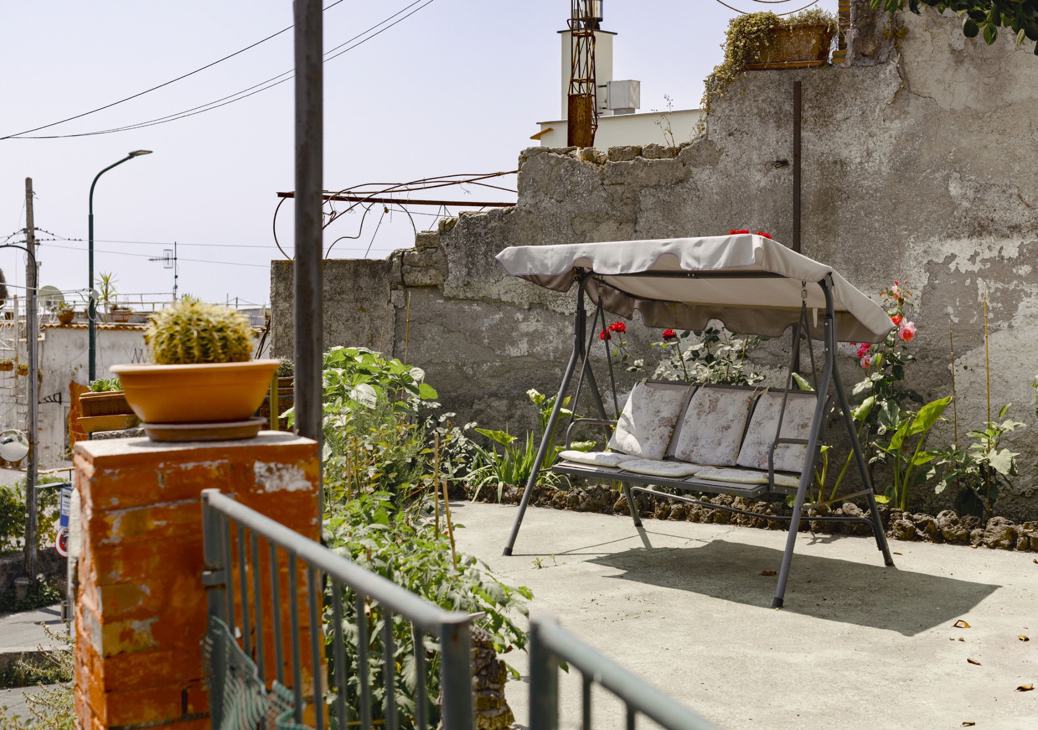
A sequence of dwellings encountered while crossing the different hamlets of Serrara Fontana. Stripped of their administrative history, the buildings are observed in their physical presence: forms of dwelling that recur in the landscape and testify to people’s ongoing presence in the area.

04

Upside Down

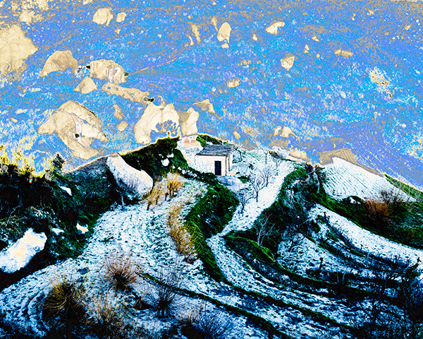
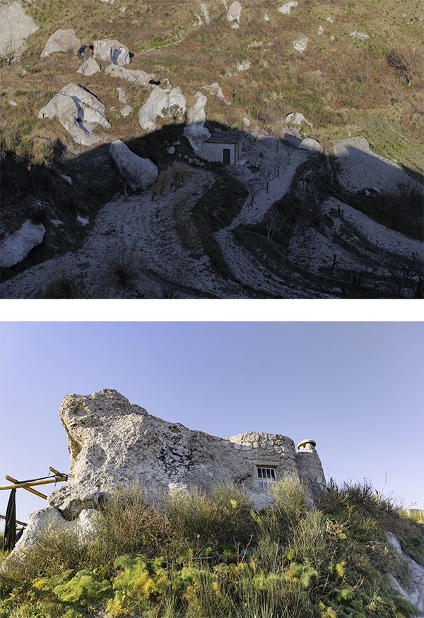
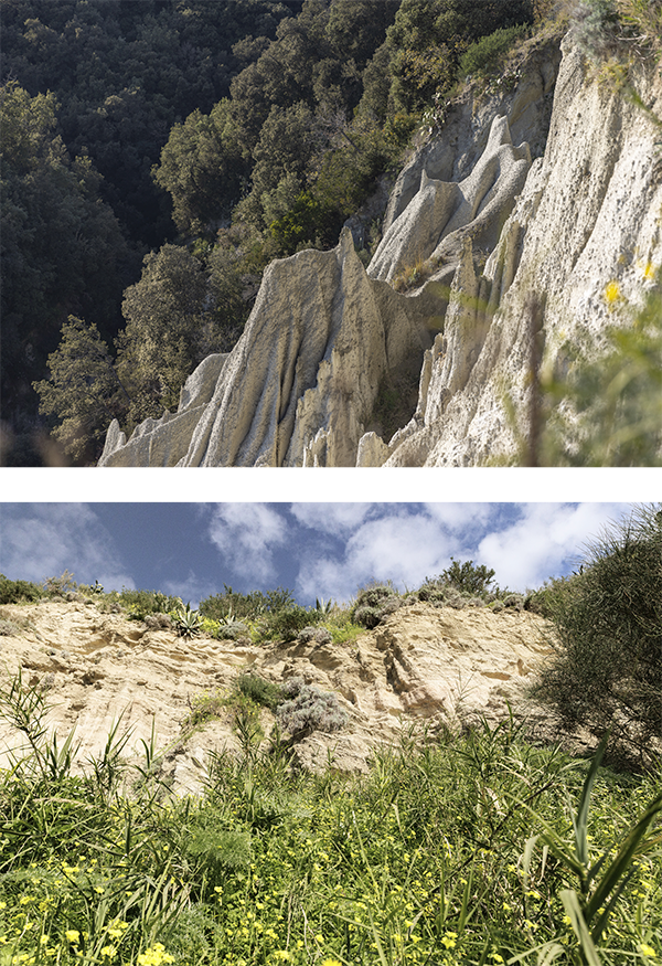
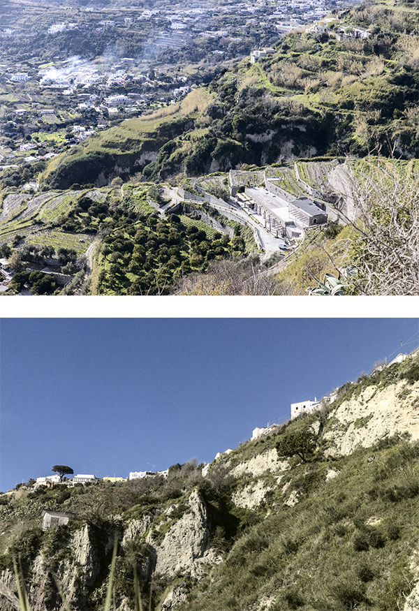
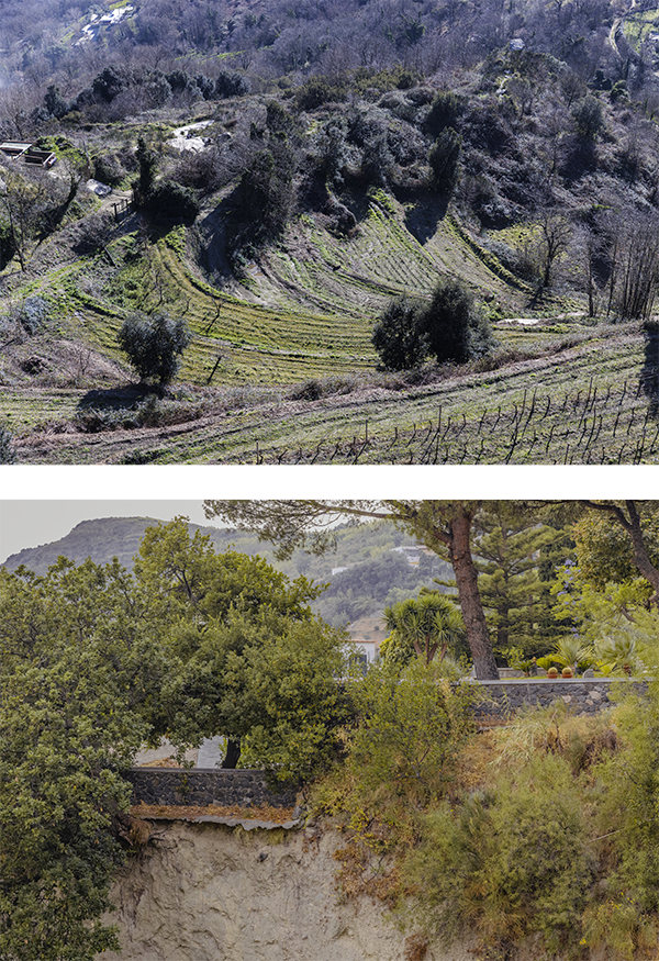
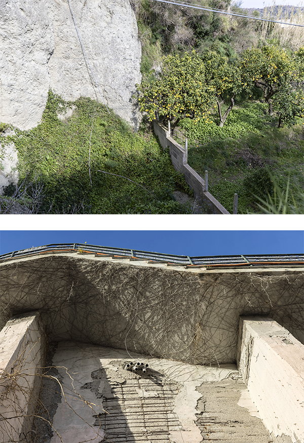
Serrara Fontana unfolds relentlessly from sea level to the summit of Mount Epomeo. The series arises from the impossibility of finding a stable horizon line and records a gaze continuously forced to move from top to bottom and from bottom to top.

Upside Down — diptych 1
Upside Down — diptych 6
Upside Down — diptych 4
Upside Down — diptych 11
Upside Down — diptych 5