Visual Work

Tralicci

Photography · Arvier · 2026 · Studi sul Qui, Season 06

Project

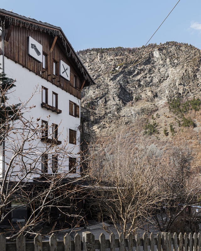
Walking through the hamlets of Arvier, one encounters a paradox: a territory recognised for the terraces of the Enfer is also one of the densest and most stratified infrastructural nodes in the Aosta Valley.

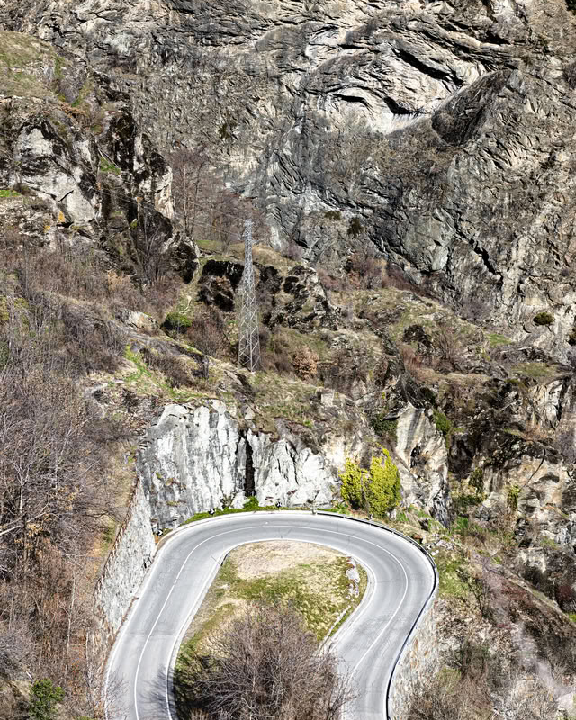
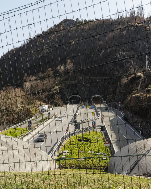
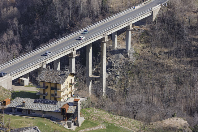
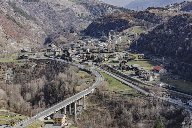
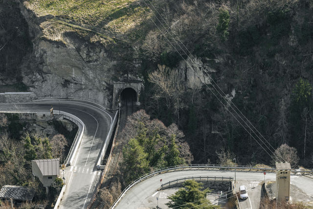
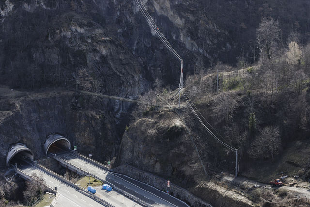
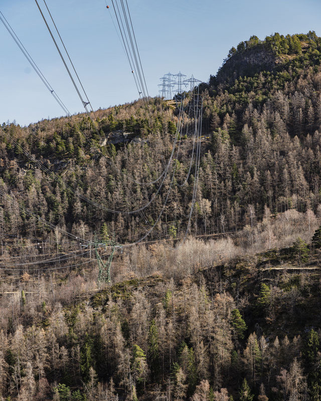
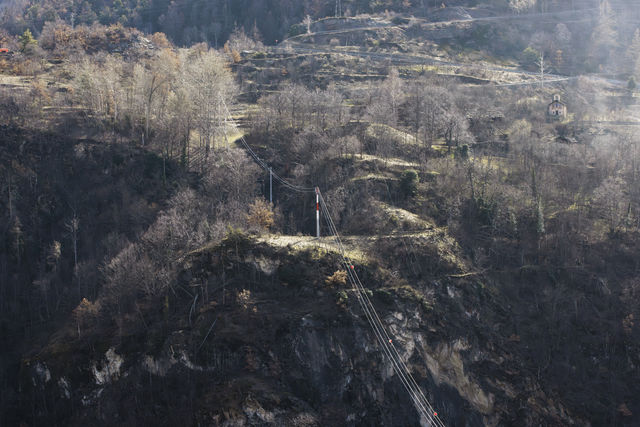
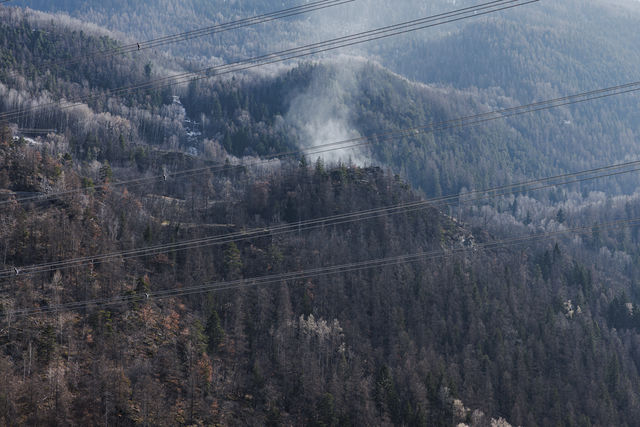
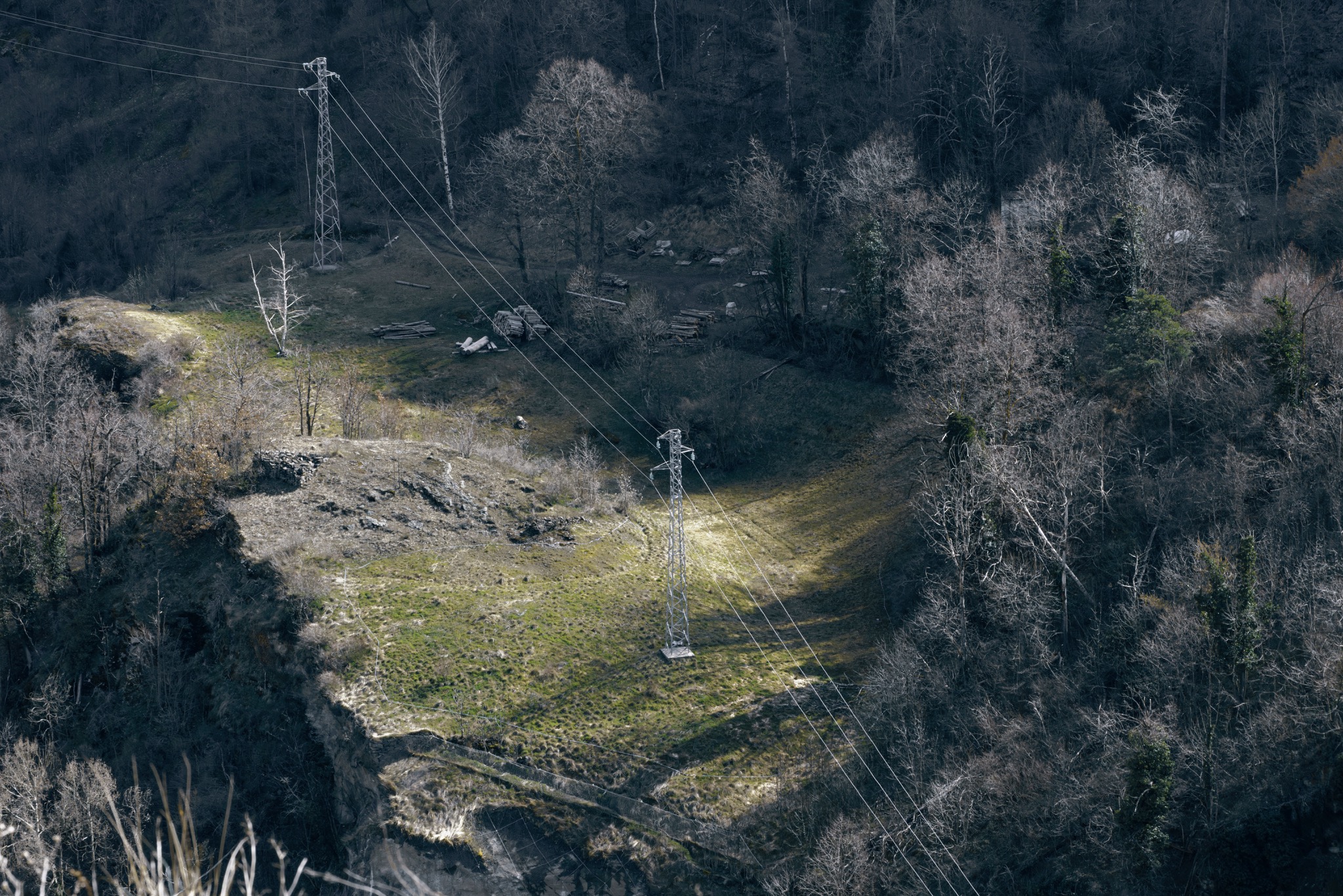
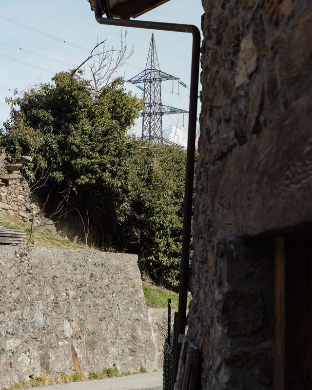
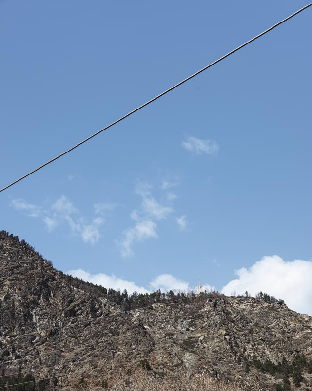
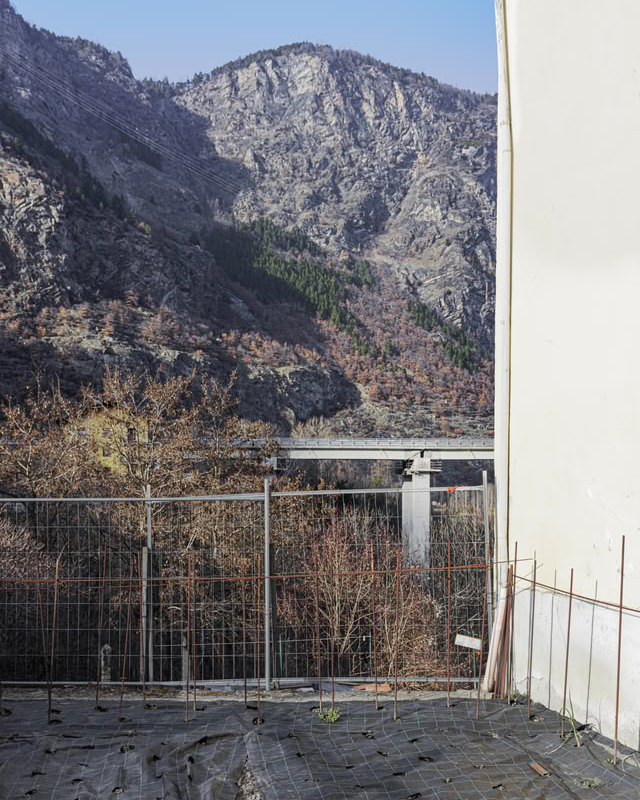
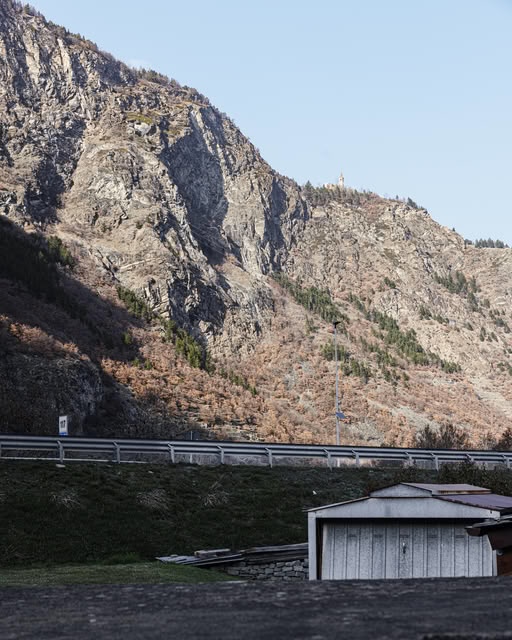
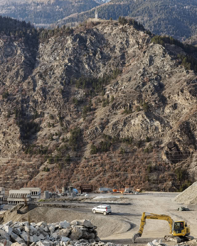
Tralicci arises from this visual tension. The photographic sequence observes how the Alpine landscape coexists with the networks of modernity — road, railway, motorway, power lines and antennas — that cross the valley, cut into the slopes and continuously reshape its perception. The project was developed within Studi sul Qui – Season 06.
MAP

Networks and crossings

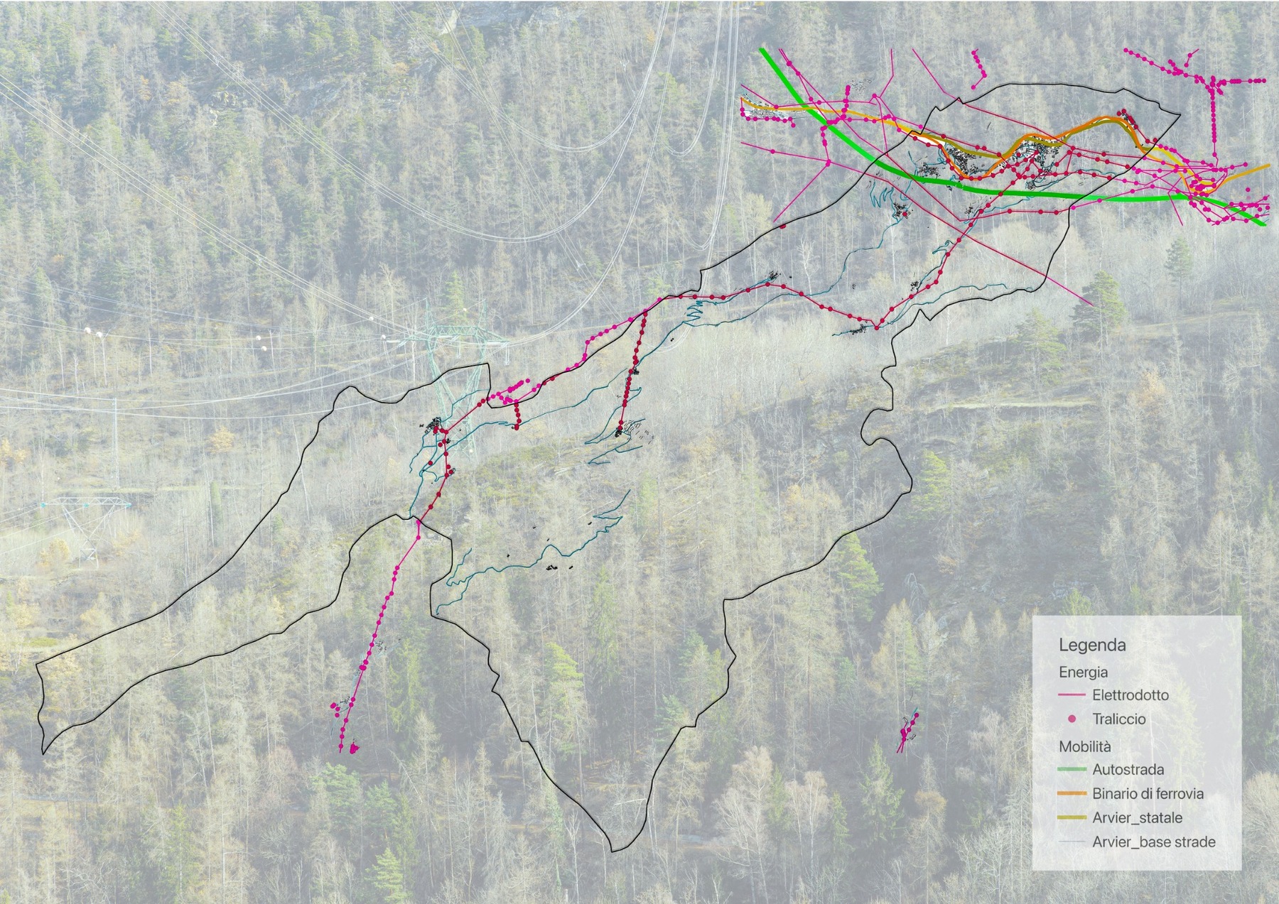
The map brings into relation the four main infrastructural systems that cross Arvier. It is not a device separate from the photographs, but a key for reading the same territorial fabric.

Map of infrastructure networks in Arvier
01

Crossing the valley

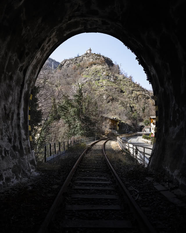
State road, railway and motorway follow the valley floor, disappear into tunnels and re-emerge in viaducts, bends and geometric cuts. The photographs search for these points of contact between infrastructure, rock and settlement.